Onondaga County and Central New York offer diverse hiking options — from easy lakeside walks and paved trails to moderate waterfall hikes and forested loops. As of March 2026, top spots include Clark Reservation State Park (waterfalls, cliffs), Green Lakes State Park (unique meromictic lakes), Beaver Lake Nature Center (boardwalks, wildlife), Pratt's Falls (137-ft waterfall), and the Onondaga Creekwalk (urban paved path) — all accessible for hikers in Clay, Liverpool, Cicero, North Syracuse, Fayetteville, DeWitt, and surrounding areas (~5–30 min drive).
Trails range from easy (paved/flat) to moderate (some elevation); most are free or low-fee. Bring water, wear sturdy shoes, and check for seasonal closures or ticks.
Community-updated — email jim@syr-area.com with changes or corrections.
Featured Hiking Trails Near Syracuse
Top scenic and accessible trails in CNY.
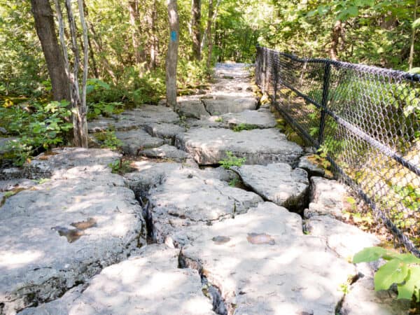
Clark Reservation State Park – Jamesville
Dramatic cliffs, waterfalls, glacial lake — moderate trails with stunning views. Clark Reservation - Hiking Map
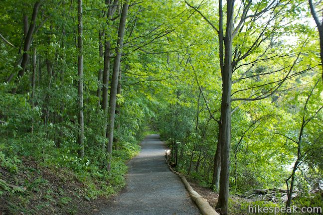
Green Lakes State Park – Fayetteville
Unique meromictic lakes, easy-to-moderate loops — great for families and birding. Green Lakes State Park - Trail Map
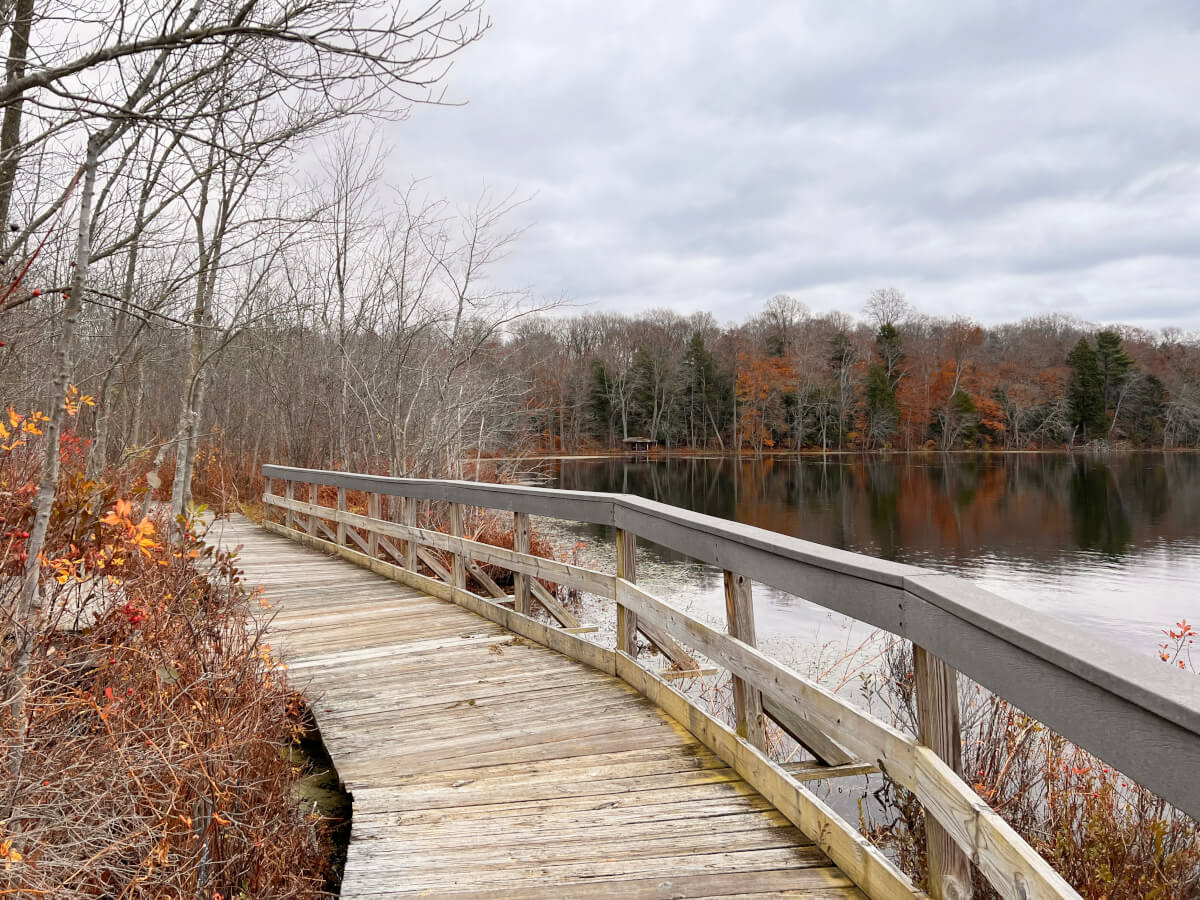
Beaver Lake Nature Center – Baldwinsville
Boardwalks, easy trails, wildlife viewing — perfect for beginners. Beaver Lake Nature Center - Beaver Lake Trails
Hiking Trails Near Syracuse
Clark Reservation State Park – Jamesville
Location: 6105 E Seneca Turnpike, Jamesville, NY 13078 (~15 min from Syracuse)
Difficulty: Moderate (some elevation, stairs to falls)
Type: State park trails
Dramatic glacial lake, cliffs, waterfalls — trails like Mildred Faust and Glacier Lake Loop offer scenic views and nature study.
Green Lakes State Park – Fayetteville
Location: 7900 Green Lakes Rd, Fayetteville, NY 13066 (~20 min from Syracuse)
Difficulty: Easy to moderate (paved and natural trails)
Type: State park trails
Unique meromictic lakes, old-growth forest — Green Lake Trail loop is popular for families and birdwatching.
Beaver Lake Nature Center – Baldwinsville
Location: 8477 East Mud Lake Rd, Baldwinsville, NY 13027 (~25 min from Syracuse)
Difficulty: Easy (boardwalks, flat trails)
Type: Nature preserve trails
670 acres with 9 miles of trails — boardwalks, wildlife observation, great for beginners and birders.
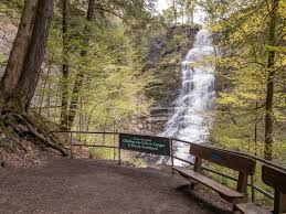
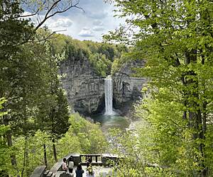
Pratt's Falls Park – Manlius
Location: 7671 Pratt's Falls Rd, Manlius, NY 13104 (~20 min from Syracuse)
Difficulty: Easy to moderate (short hike to falls)
Type: County park trails
137-ft waterfall — scenic trails, picnic areas, popular for short family hikes.
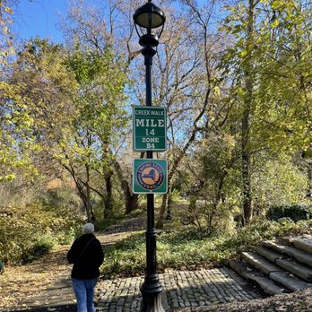
Onondaga Creekwalk – Syracuse
Location: Along Onondaga Creek, from Southside to Onondaga Lake (~central Syracuse)
Difficulty: Easy (paved, flat)
Type: Urban paved trail
4.8-mile accessible path — history, culture, connects to Inner Harbor and Armory Square.
Camillus Unique Area – Camillus
Location: Near Rt 5, Camillus, NY 13031 (~15 min from Syracuse)
Difficulty: Moderate (hilly, forested)
Type: State forest trails
Several miles of trails — great views, wildlife, popular for locals west of Syracuse.
Three Falls Woods – Manlius
Location: Near Manlius, NY (~15 min from Syracuse)
Difficulty: Easy to moderate
Type: Local nature trail
Scenic waterfall trail — short but beautiful hike in the Manlius area.
Hiking Resources & Tips
Type: General info
Check AllTrails, NYS Parks, or Onondaga County Parks for maps; bring water, tick protection, and leave no trace.